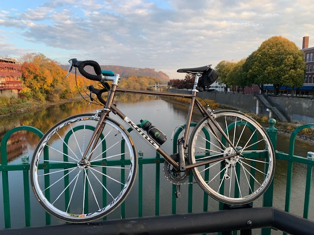
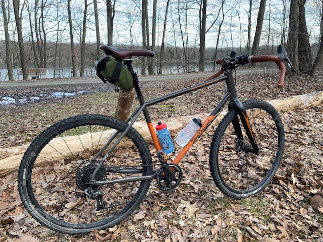
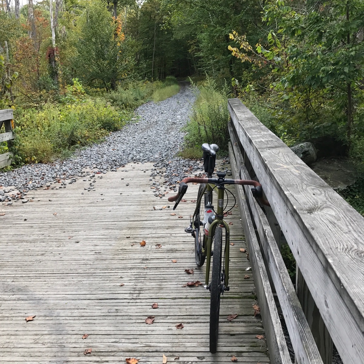
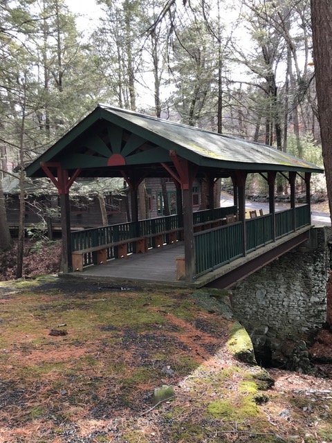
First, let me start by saying that Arkansas, originally part of the Louisiana Purchase, is as beautiful a place as any in the country. Made up of two distinct mountain ranges, the Ozarks and the Ouachita. The Ozarks are a series of peaks and plateaus. Where the Ouachita run east to west as opposed to most ranges that run north to south.

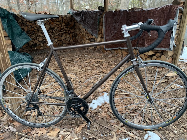
Just outside Little Rock, you have Pinnacle, Wye and Shinall Mountains, which are located in the foothills of the Ouachita. These are just over 1,000 feet each but successive, creating a large roller coaster of rolling hills with a few long climbs. While in Little Rock for two weeks on a work project, I had the opportunity to explore this vast, beautiful wonder, nicknamed the Natural State.

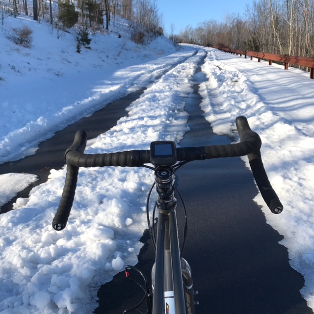
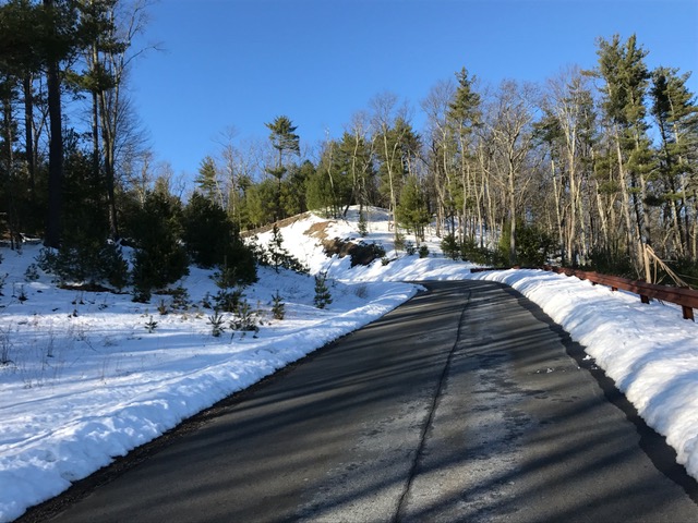
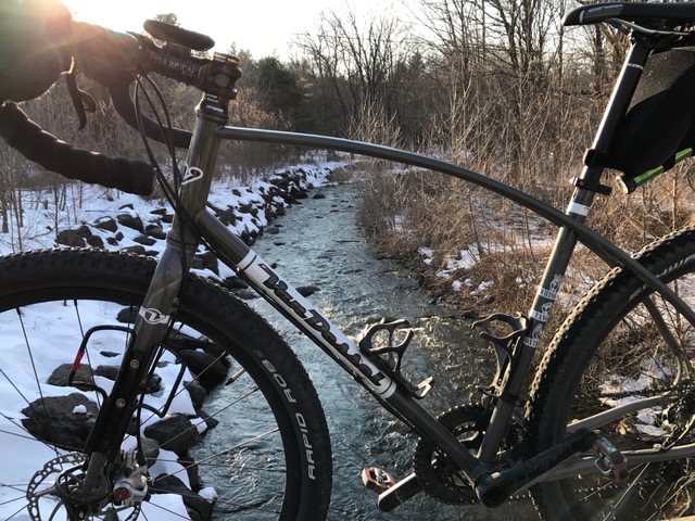
When I was able to get outside, after 3 days of intense rain, followed by extreme humidity, I left my hotel at 6am and drove over to Two Rivers Park. From there I took Country Farm Road to Pinnacle Valley Road all the way to Rt. 300. I turned around and on the way back, climbed Pinnacle Mountain to the park headquarters then dropped down the the boat launch for a climb back to Pinnacle Valley Road before heading back.

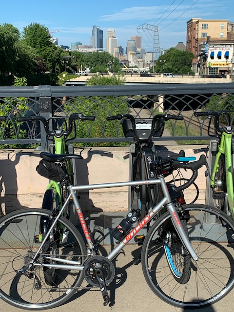
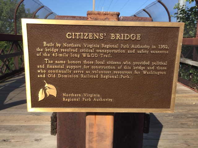
Another interesting ride was more urban. From the Clinton Presidential Library in Little Rock, I pedaled over the Clinton Bridge to North Little Rock and hopped on the Arkansas Trail. North Little Rock is a separate city, separated by the Arkansas River from Little Rock. The Arkansas Trail runs on both sides of the river. I rode over the Big Dam Bridge, back into Little Rock for a flat, fast cruise back to the car.
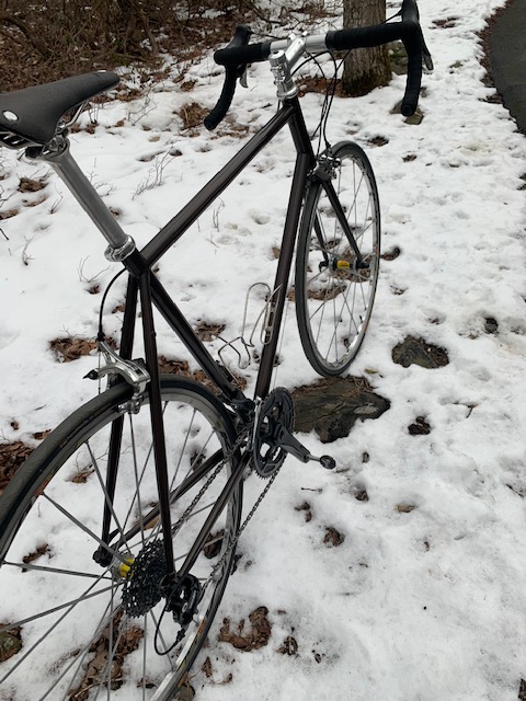
Then, I found paradise in Arkansas. On Tuesday, I started over at Pinnacle Mountain Park on Rt. 300. Leaving the parking area, I made a left on Barrett Road, a quiet enclave of large country homes. I made a right on Rt. 10 and followed Little Maumelle Lake to Rt. 113. This is where the Wye Mountain climb begins. Never getting too steep, 113 winds up and over Wye Mountain. At the peak, it drops quickly through a few sharp turns, making the descent a tricky but doable venture. At the bottom, 113 runs into Rt. 300. Here, there are signs for Little Italy and an Italian museum. It was closed, but would have been a nice rest stop. The rolling hills never really let up until a few miles from the park. Wye Mountain was so nice, I went out and rode it again on Saturday.

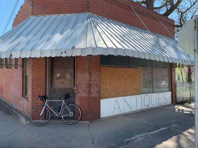
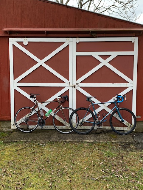
Northwest Arkansas gets a lot of attention, because of all the trails and bike lanes in and around Bentonville. However, if you want beauty, hills, and a little of everything, Central Arkansas should be on your short list of cycling destinations.

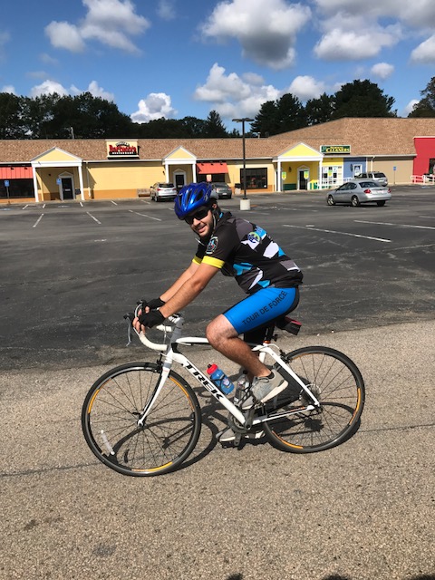
What’s Playing (what am I listening to while writing or what’s dancing around in my head while riding) today – Kenny Loggins (with Michael McDonald) – This Is It


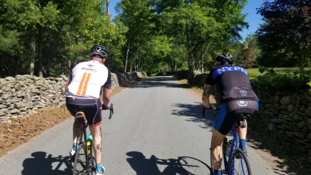


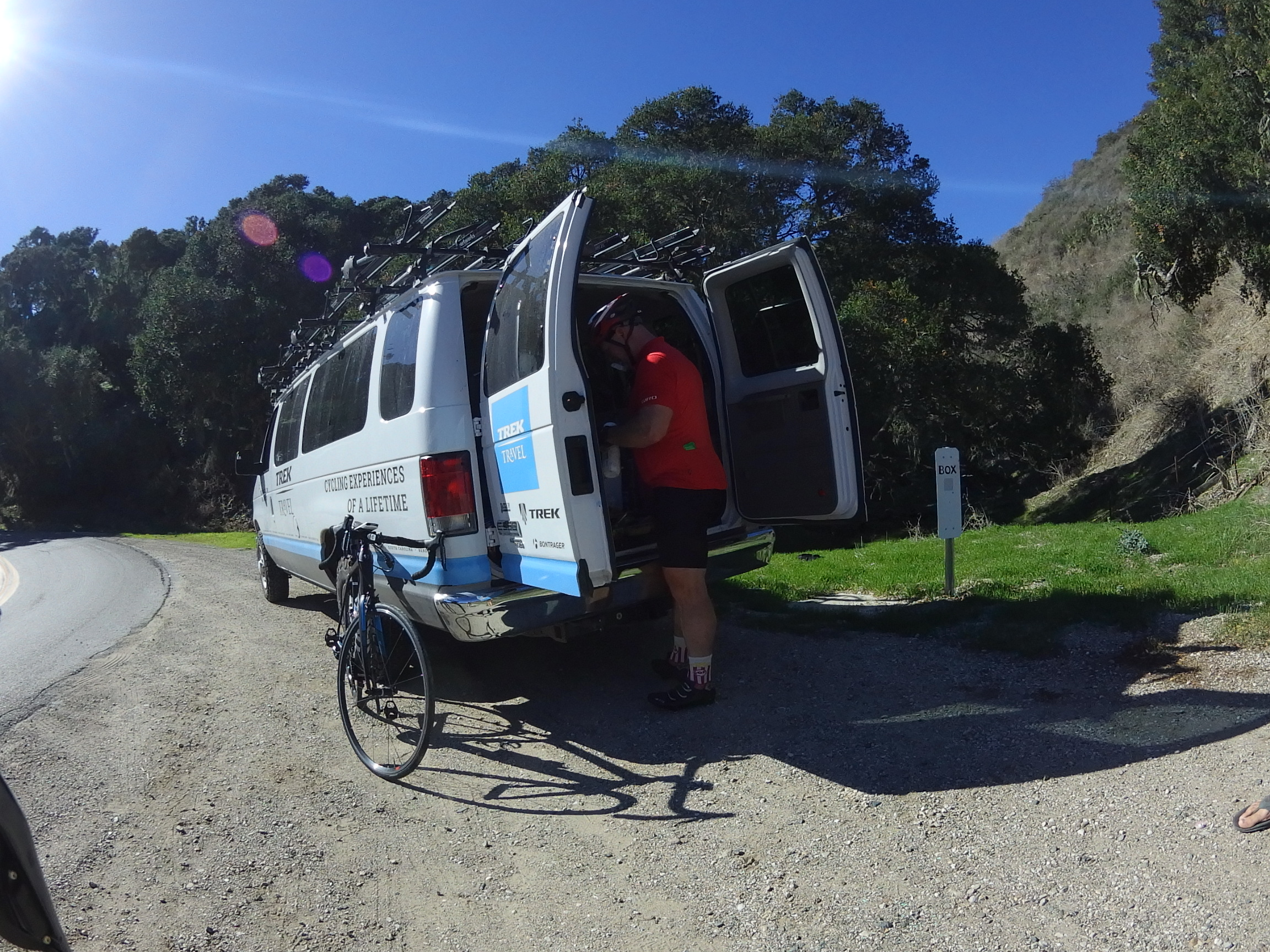


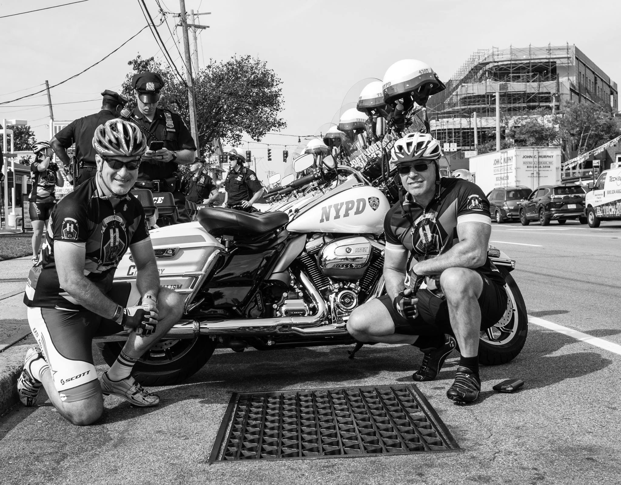
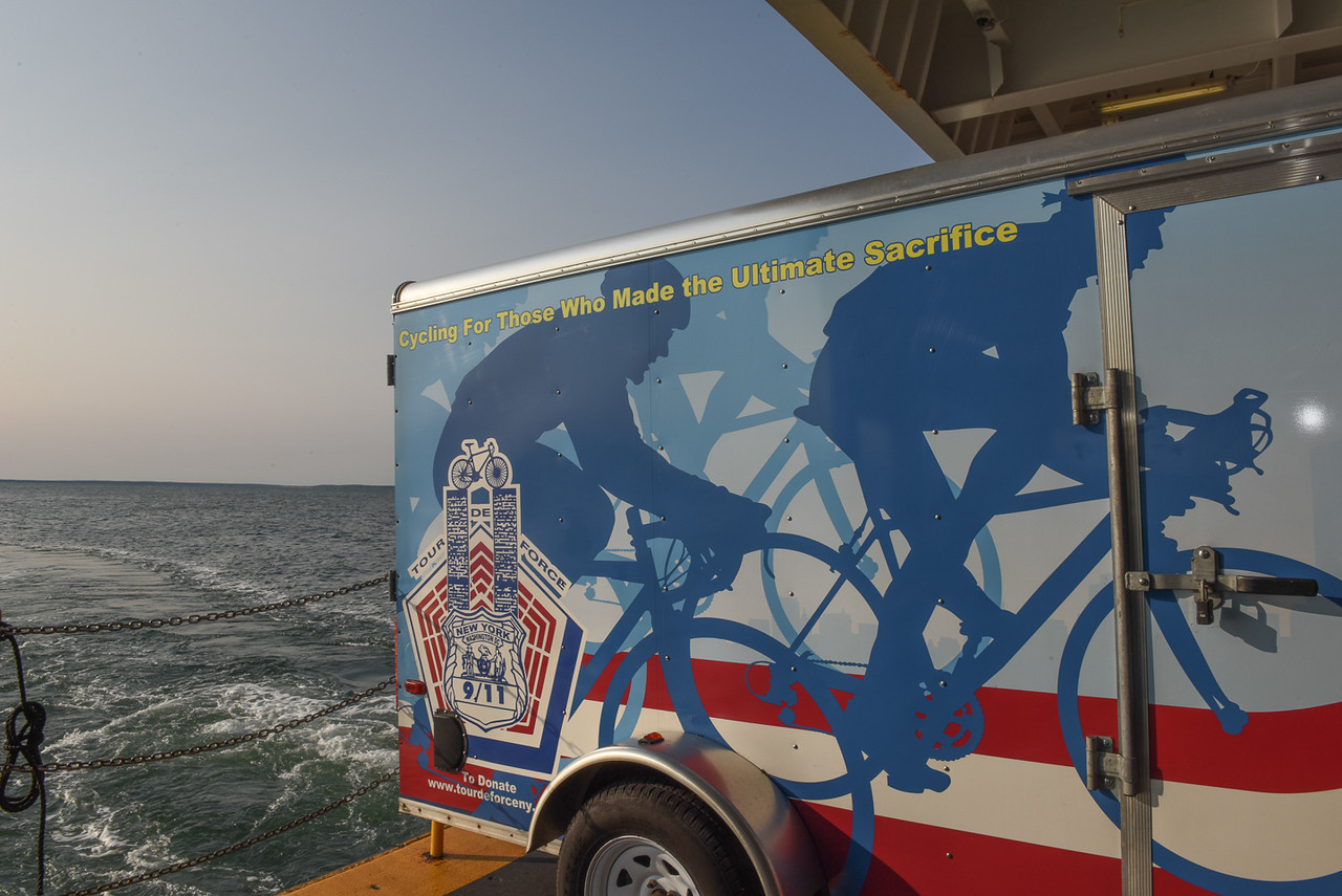
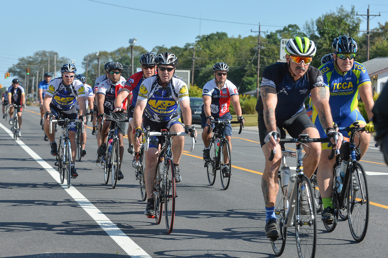
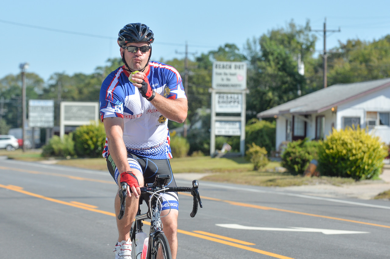
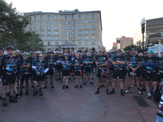
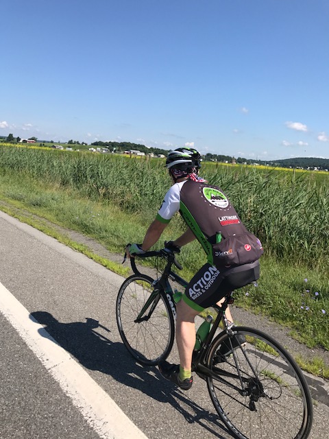
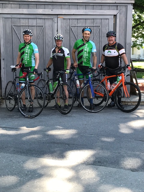
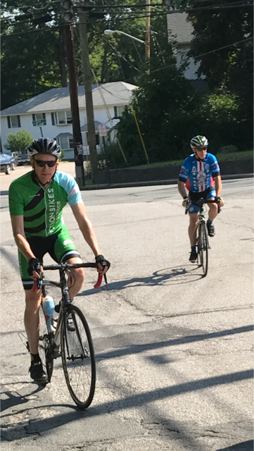
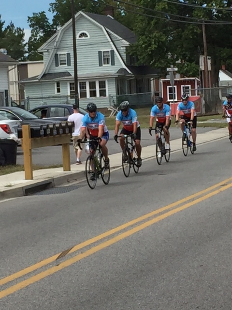
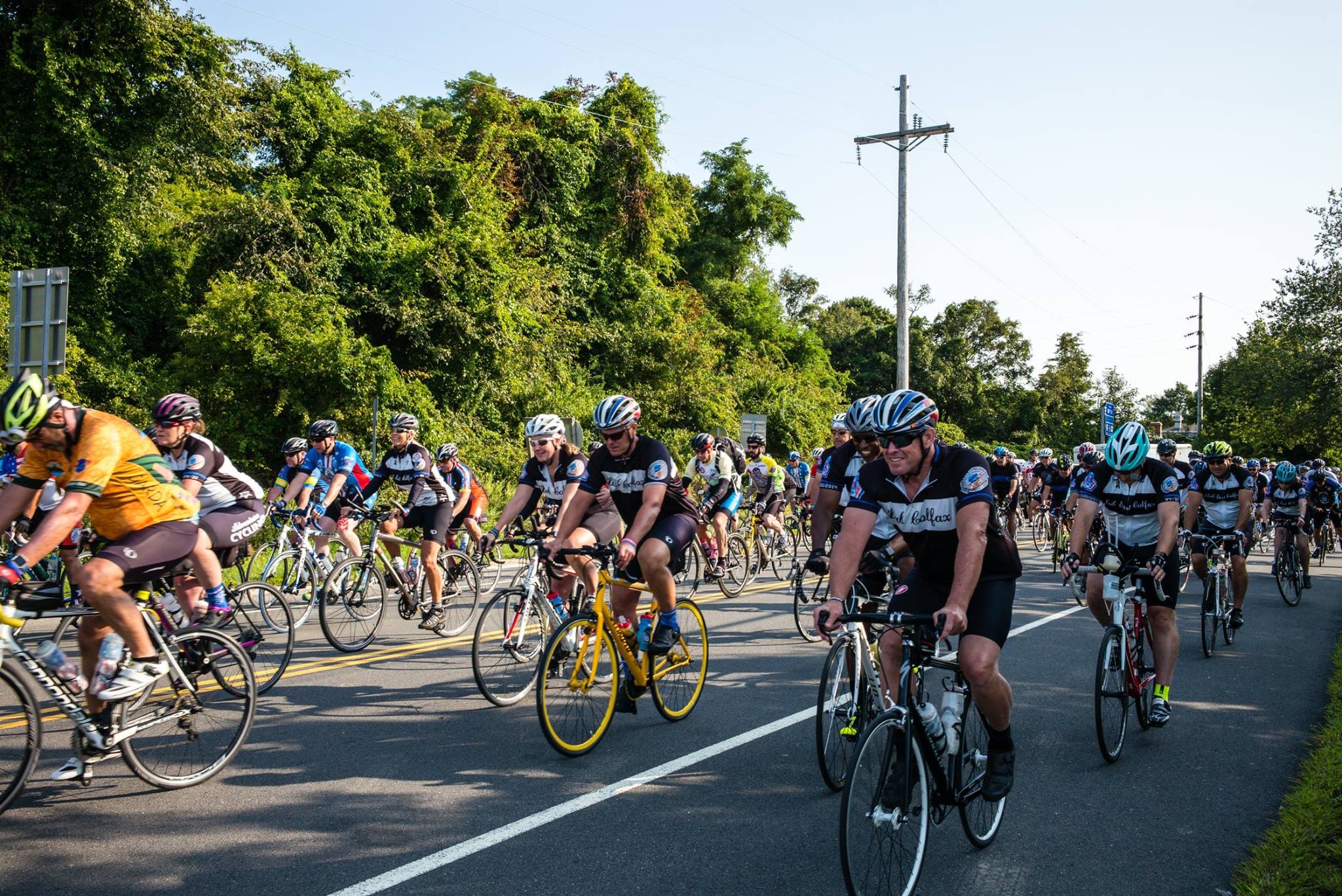 With that said, let’s get to the ride. We started from the Sheraton in Melville, NY and rode down Rt. 25 through urban Nassau County for 22 miles to the Floral Park Municipal Field, where lunch was served (The Nassau County Police Department expertly blocked all intersections to Floral Park). Seems like a short distance for lunch, but the rest of he day’s events were going to be slow as we were escorted as a group to the finish.
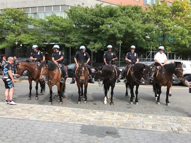
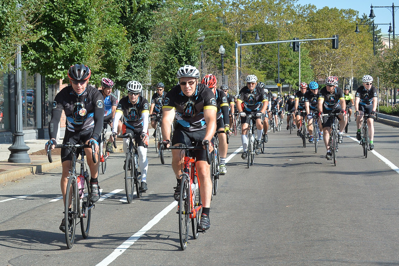
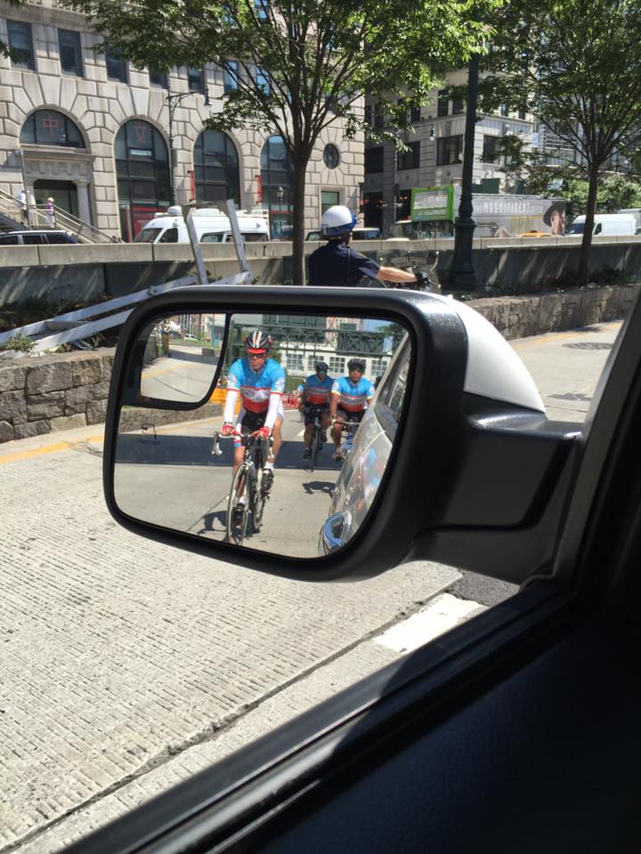
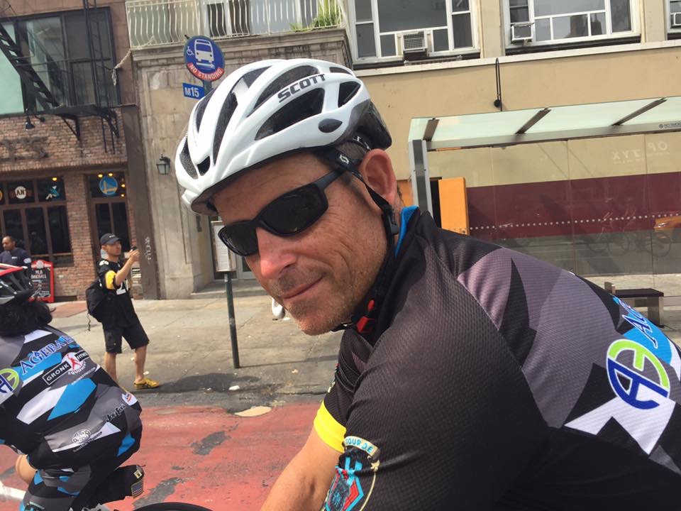 From Floral Park, the NYPD took over the escort and wow, were we treated like dignitaries. Eight motorcycles blocked every intersection, through Queens, over the 59th Street Bridge and into Manhattan. Then the challenging part came when the streets of lower Manhattan, so congested at 1:30pm on a Tuesday, were turned into the Tour de Force Expressway. Motorcycles roared, helicopters soared and every rider and support team member, were cheered on by the thousands watching and patiently waiting to go about their day.
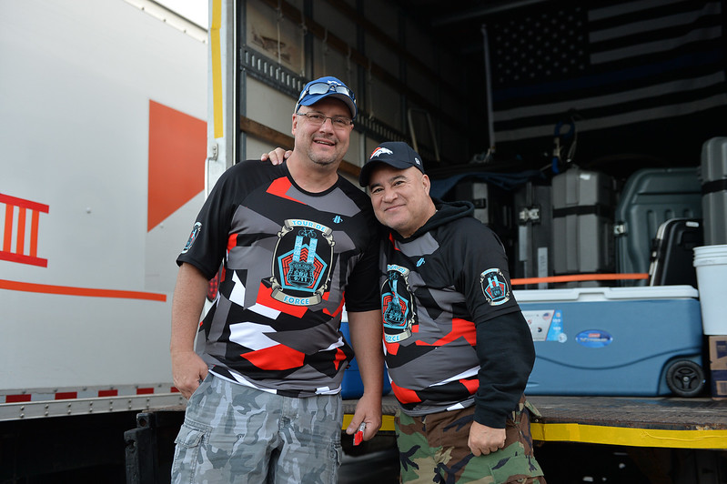
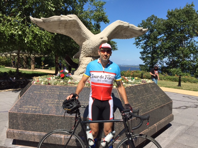
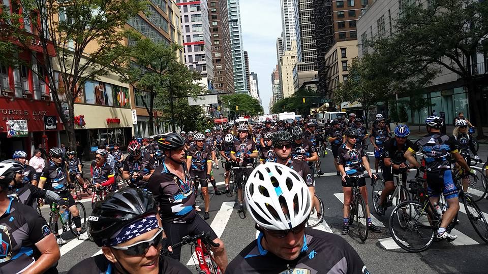 We paused briefly in front of the still boarded and fenced Ground Zero for a moment of silence. The Freedom Tower, although not a replacement for the Twin Towers, looked glorious in the September sky.
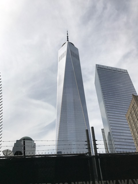
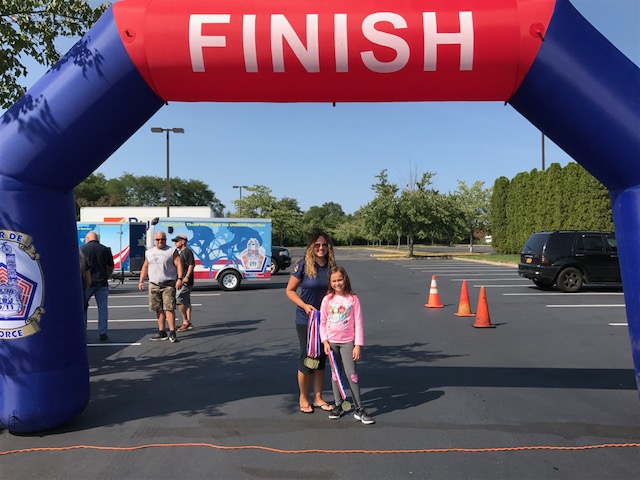
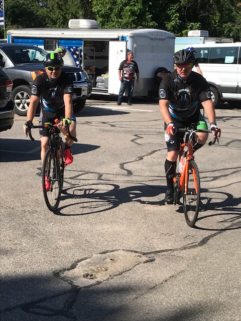
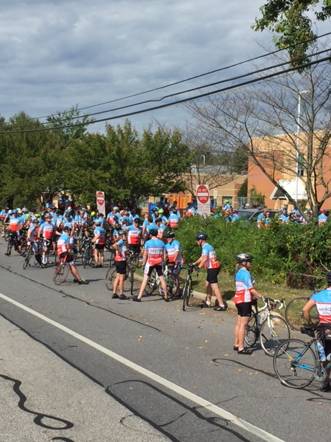
 These were and are an amazing 4 days of cycling. We cannot forget the victims of Hurricane Irma and Hurricane Harvey. You are all in our prayers. We cannot wait until next year when we welcome back all our riders that had to back out because of the recent storms. Your presence was sorely missed.


 0
0


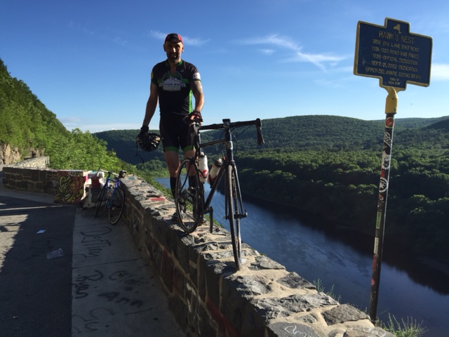


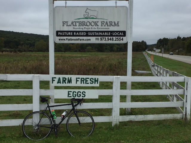
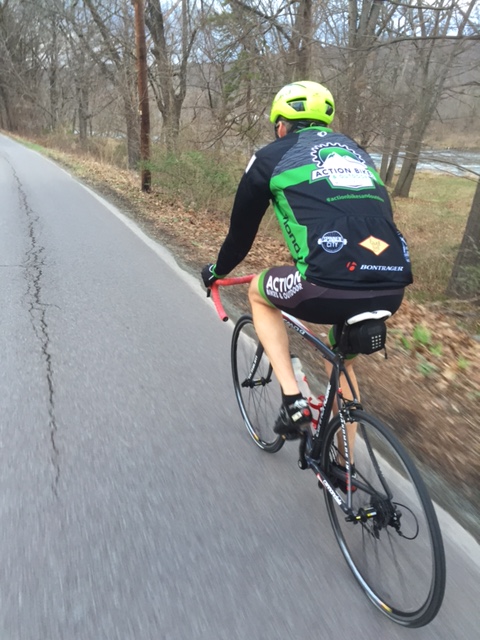
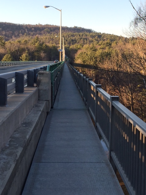
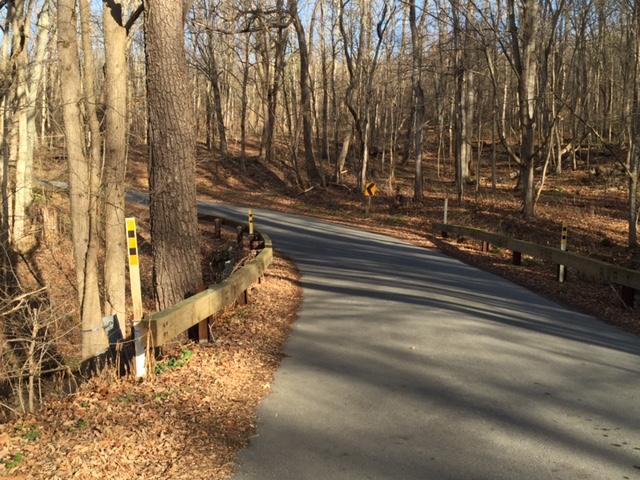
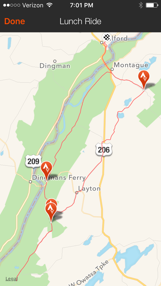
 Descending down about a 1/2 mile, I turned right on Mountain Road and then another mile, right on Greenville Turnpike. Greenville goes steeply up for about 1 1/2 miles, then drops down for 2 1/2 miles, just at about where the Rt. 6 climb began. A careful left on Rt. 23, brought me through the Montague, NJ traffic and up past Clove Road. Rt. 23 climbs for about 7 miles, but never really gets too steep. I followed it up to the High Point State Park entrance and hung a left into the park.
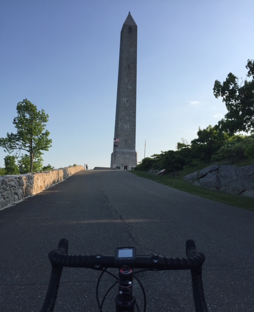


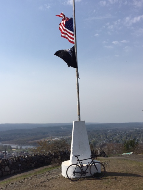


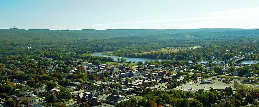


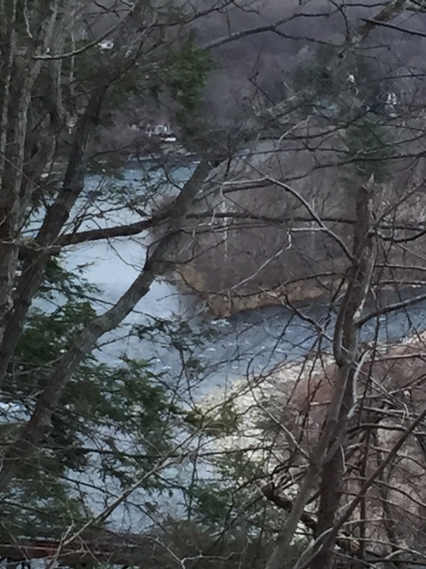


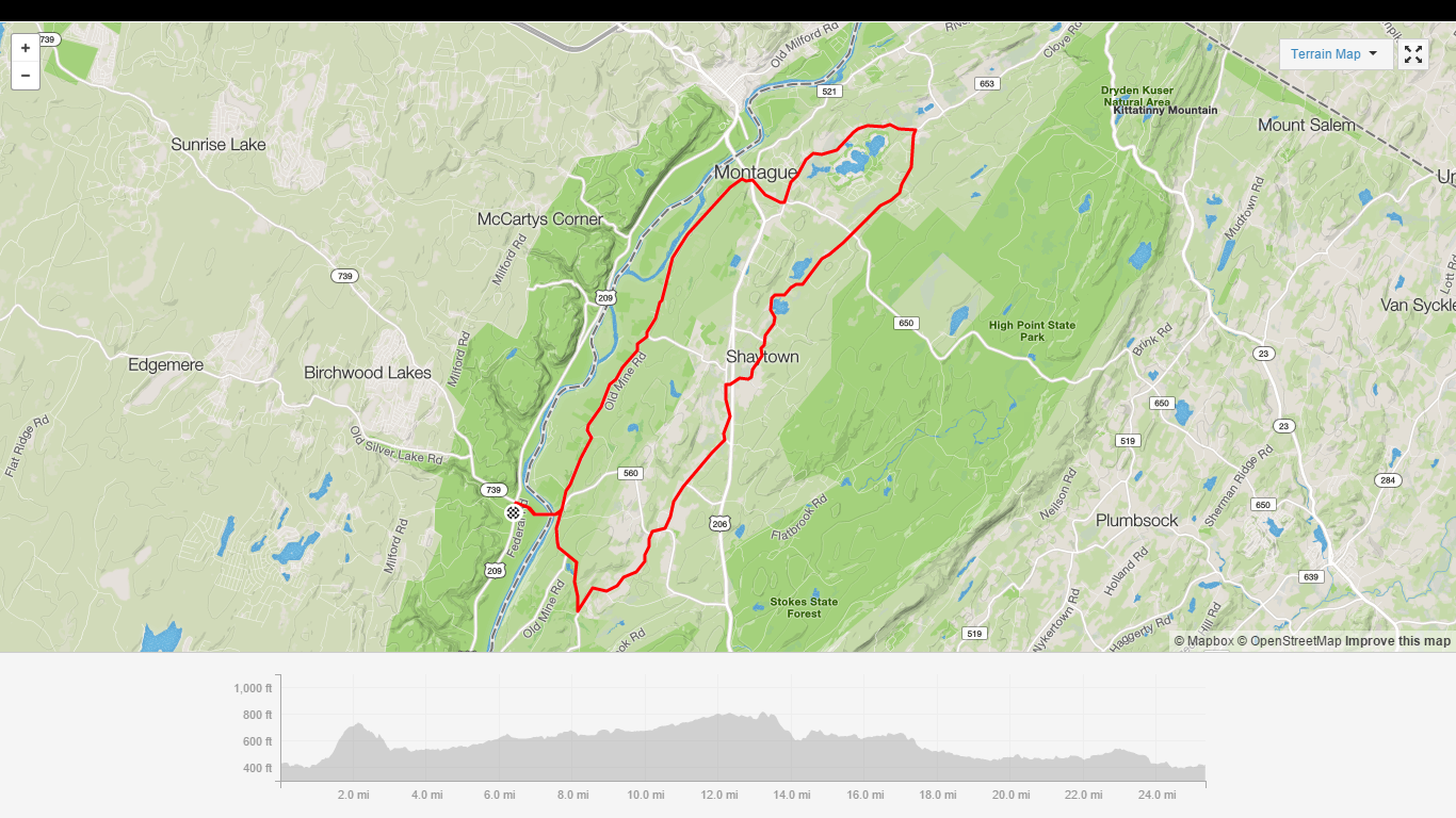

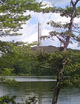
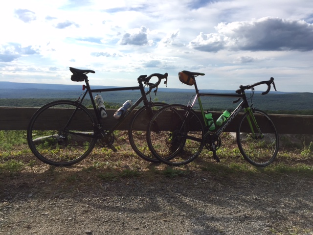
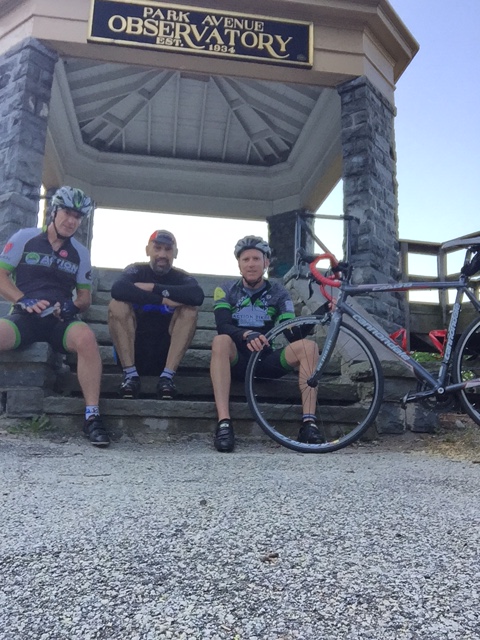
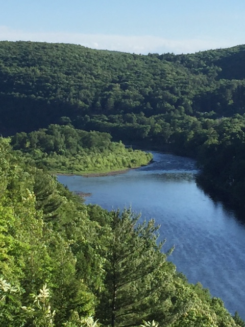
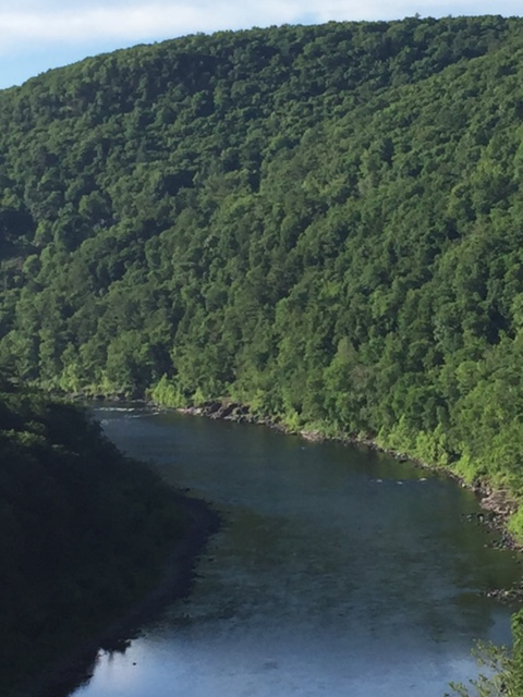
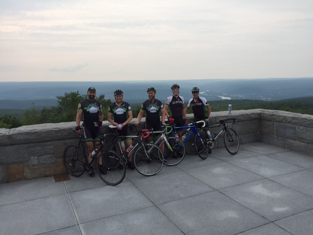 Nestled atop High Point State Park in the Kittatinny Mountains, it is the highest point of elevation (1804′) in the state of New Jersey. The beautiful 220 foot high monument was built in 1928 as a war memorial. The base of the monument offers views of the Pocono Mountains to the west and the Catskill Mountains to the north. New York, New Jersey, and Pennsyvainia are all seen in what appears to be a panaramic view.