VBC Century Ride

This past weekend, Mike H, Steve and I, traveled up to Plattsburgh, NY to do a Century ride through the Adirondacks. A ride that is near and dear to my heart. This ride is put on by the Adirondack Garda. All proceeds are donated to the Tour de Force, a charity ride that raises money for the families of Police Officers killed in the line of duty, nationwide. I’ll detail the Tour de Force in a later post.

This is the 3rd annual Valcour Brewing Company Century Ride. It was previously called the Dry Dock 100. I rode in the 2014 event and I was extremely excited to be able to have a chance to be a part of it again. The inaugural ride was a 103 miles. A figure eight that started in Plattsburgh, came back into town at mile 50 for a fantastic lunch stop and looped out and back for another beautiful 50+ miles.

IMG_3457

The 2016 event featured 4 rides. 25, 50, 78 and 103 miles through the beautiful Adirondack Park and alongside Lake Champlain. Each ride featured perfect roads, absolutely stunning scenery, a quality lunch stop, well stocked rest areas and 2 awesome post ride parties. All riders, received an Adirondack Garda t-shirt, Valcour Brewing Company/VBC Century pint glass and some first rate swag. The gun went off at 8:30am for the 50/78/103 mile rides. The 25 miler, was an out and back, that started after lunch.

IMG_3458

For the 103 miler, it was a tale of two different types of weather. First, the rest stops were at miles 25, 50, 75 and 94. For the first 25 miles, there was a strong head wind. You sort of forgot about the wind as you came to the top of a hill and were hit with an incredible mountain top view. As you made the turn and looped back into Plattsburgh from the 1st rest stop to lunch, the wind changed directions and the road grade cooperated. That might have been the fastest 25 miles I have ever ridden.

IMG_3435

We were treated to a nice lunch on Lake Champlain. Darcy, Ann and a bunch of other volunteers, really did a wonderful job. From the sign in to the aid stations(which were top notch), everything was done to make sure the riders slipped through the course with ease. The Plattsburgh Police Department and the New York State Police did a fantastic job with the lead out and traffic control at the intersections.

IMG_3453

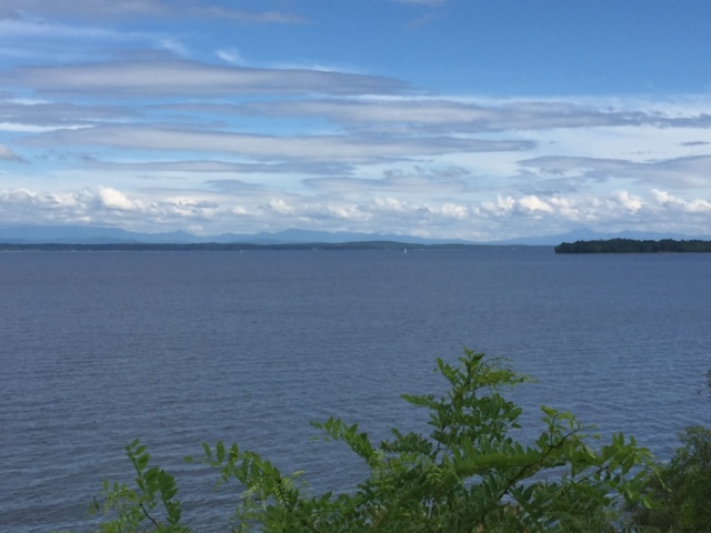
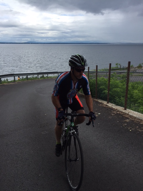
After lunch, about a mile in, you hit the only big hill on the course. It twists and turns as you climb for approximately 1.5 miles. You drop back down into farmland and fight the wind for another 20 or so miles. Along the way, we passed over 100 cyclist from Canada that were pedaling through one of the best cycling regions in the country. At mile 75 we rolled into the 3rd rest stop just off the border of Quebec on Lake Shore Drive. Across the lake, you could see Vermont. The wind turned to our backs again as we made our way into Plattsburgh along the lake.

IMG_3452

The last 2 miles are on a bike path, along Lake Champlain, that leads you right into the VBC parking lot and through the finishing chute. We were greeted with cheers and directed upstairs for the post ride party. Valcour had several different beers to choose from in a saloon that overlooked the lake. Down the hall, the Adirondack Garda provided a delicious recovery feast. We went back to our rooms to shower up and headed over to an undisclosed location for  a pool party, complete with margarita machine, beer, BBQ, hot tub and great people to sit around with, relax and reminisce about a great day.

IMG_3451

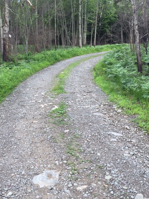
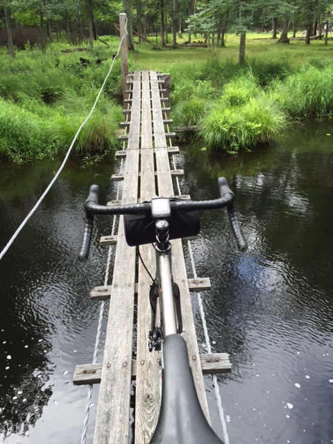
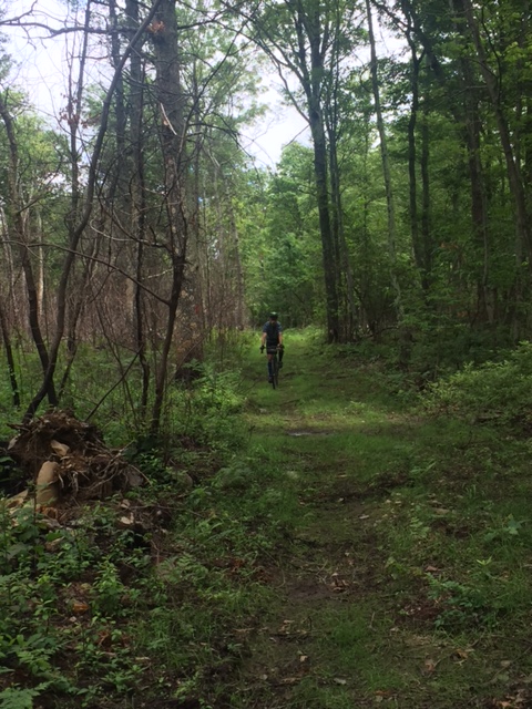
The following day, Bob and Bruce took any willing riders on a 50+ mile recovery ride up through the Lake Placid area, with a ferry ride across the lake to Vermont for lunch. We were sorry to miss this excursion as we opted to head home in the morning, but heard it was a good time!  Just a few more pics of this fantastic event:


Advertisement

Adventure Loop(gravel, mud, grass & Pave)

With a break in the humidity for a day, a gravel grinder through the Delaware State Forest seemed like a good idea. I’ve written a few posts about different areas of the forest (Five Mile Meadow Road, Standing Tall Trail, Flat Ridge Road area, Whittaker Road and the High Knob Road, High Line Road area), but this time, the idea was to come up with a way to connect them and extend the ride.

I made plans to ride with Will and Kyle at 9am on Sunday. Will mapped out a route that would connect all of the aforementioned areas into a nice loop. I rode from home and met up with Will and Kyle at the Rt. 739 Parking area.

IMG_3368

We headed north on Rt. 739 and made a left on an undisclosed road. To connect the loop, we would have to pedal on a jeep trail and gravel road through private property for about 2.5 miles. Back on the pave, we made a left on Rt. 402 for about a half mile, then onto the High Knob Road. Electing not to climb up to the fire tower, we connected the High Knob Road (a relatively flat, hard packed gravel road) with High Line Road and descended for a few miles down to Hay Road and into the woods.

IMG_3373

The old jeep trail was overgrown. We pedaled through the area that was engulfed with the early spring forest fires. You could see some burnt trees on the ground, but the growth was overtaking the black ash. However, a few hunting cabins were not able to survive the fires. We crossed an old wooden plank foot bridge and continued on the trail.

Hay Road is closer to a backwoods trail then it is to a road. We came out of the woods and made a left hand turn on Snow Hill Road, a quiet country road that is roughly paved in sections and gravel in others. A left on Resica Falls Road put us back on pavement for  about a quarter mile, before hanging a right on Whittaker Road. After a mile of gravel, Whittaker turned into another jeep trail that was a little less over grown and a little less rocky, which made the descents a lot of fun.

IMG_3383

As we came out of the woods again, we rode around the back end of Minisink Lake and onto Flat Ridge Road. For 3.5 miles, the gravel on Flat Ridge is small and hard packed, which provides a really nice surface. Another left put us on Silver Lake Road for a mile and a right put us on Standing Tall Trail. This is a neat gravel road that winds through a deer management section that is fenced off on the left hand side of the road. After 2 miles, a creek comes right through the road. Kyle rode through as Will and I walked through, carrying our bikes. Another mile and our paths went different ways. Will and Kyle made a left on Five Mile Meadow Road for a 2 mile ride to the parking area and I headed in the other direction to a deer trail in the woods that leads to my community.

What a nice ride through a really quiet section. If you slow it down a little, there is plenty to see. Kyle rode up on a black bear on Whittaker Road (A little noise and it walked away). There are some quaint little cabins and plenty of places to camp. The loop was just about 45 miles with some good climbs (nothing too hard). This ride is doable on a cyclocross, mountain or hybrid bike. Though, it would be a little too tough for a road bike.

What’s Playing: (What am I’m listening to while writing or what’s dancing around in my head while riding) Today – Creedence Clearwater Revival – “Have you ever seen the rain”

Creedence_Clearwater_Revival_-_Pendulum.jpg


Sunrise Mountain

Thursday afternoon was what some would call a perfect day. 85 degrees and sunny with just a bit of wind. I could have cut the lawn and gotten started on a few weekend projects. Nah, it was way too nice out. This day had climbing written all over it. I got out of work on time at 4:30pm and drove to Dingmans Falls to meet Eric for a ride into New Jersey and up Sunrise Mountain.

IMG_3314

We rolled out at 5:00pm and headed over the Dingmans Bridge. Turning right on Old Mine Road, we climbed the Peter’s Valley hill and over into the small Artist commune. We hung a sharp left on Bevans Road and pedaled out to Layton and across to Rt. 560 and eventually veered right on Rt. 206, which is a dangerous road at best. Not a lot of shoulder and way too many cars. The roadway goes uphill for about 1.5 miles before leveling out. A left hand turn on Upper North Shore Road in Stokes State Forest, and a left at the fork on Sunrise Mountain Road.

12
Sunrise Mountain Pavilion

Sunrise climbs for about 6 miles before coming to another fork in the road. You will want to stay right to get to the overlook. The grade steepens for 3/4 of a mile, but you are treated to a beautiful view of the Kittatinny Mountains. Rolling back down, you take a right at the fork on Crigger Road, where you now descend for a few miles before coming to a refreshing sight on the left hand side of the road. It’s a natural spring. The water is ice cold and tastes great. A perfect place to refill your bottles and maybe cool off a bit.

Continuing down Crigger Road, you go up and down and finally reach Deckertown Turnpike, where you turn left (you can turn right if you want to extend the ride over to High Point). Deckertown Turnpike is a road that goes up and down, but a fast descent will carry you up and over most of the hills. After a few miles, it drops down for a stretch until you make a left on New Road. A flat and fast section, New Road becomes Cemetary Road. Just before Rt.206, you turn left on Degroat Road and wind around a few farms before coming back to and making a right on Rt. 206. a Quick left on an unnamed road and another left on Layton Hainsville Road.

Another fast section, Layton Hainsville drops you back into Layton. A right hand turn at the Layton General Store on Rt. 560 and you climb just a little bit more, before descending down to the Dingmans Bridge and back across to Pennsylvania.

This was a beautiful ride, one that I would like to connect with High Point on another adventure and make it a day trip. With a lot of climbing, this is an intermediate to hard ride, but the reward is it’s beauty.

What’s Playing: (What am I’m listening to while writing or what’s dancing around in my head while riding) Today – The late, great Harry Chapin – A Better Place to Be

0075596063029_p0_v1_s272x272