The Manhattan Project

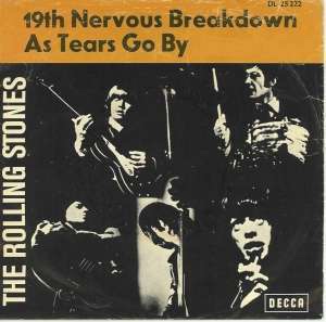
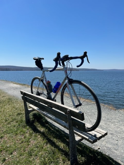
In an attempt to add length to my daily rides, I went out on last Sunday for a longish ride, traversing some of the finest roads in the area. The average temperature was about 50 degrees and sunny, adding to a very good day on the bike. My goal was to add mileage and take in some newer roads while keeping the elevation to a minimum. This worked out like a charm. The weather held out until about 10 minutes after I finished. Then the rains came.

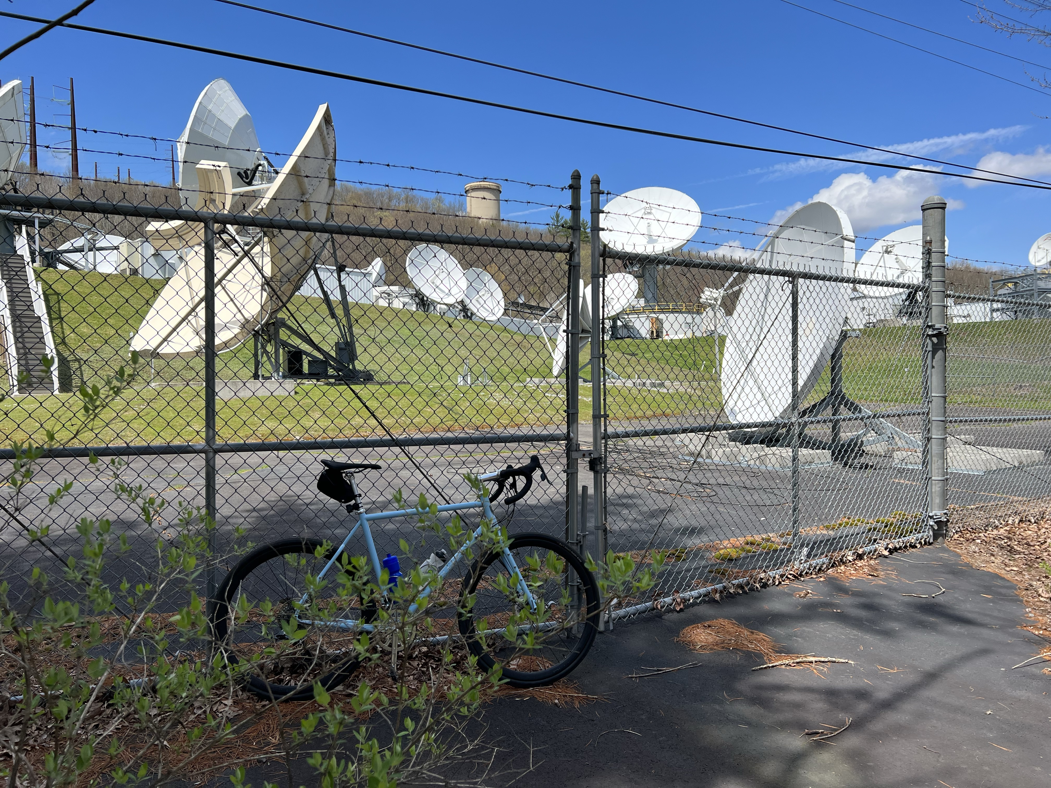
I left my community and headed down Rt. 739, through Lord’s Valley, to Rt. 6. I made a left and pedaled a few miles, before climbing up past Costa’s Family Fun Park and across Rt. 402. A right hand turn on Kimbles Road put me on new terrain. About 2 miles in and I came across what appeared to be the most out of place looking facility that I have seen in this area. I counted more than 30 large satellite dishes. The entire property was surrounded by a ten foot fence with barbed wire, what appeared to be a watch tower and was neatly tucked into the woods. I couldn’t help but wonder what this was. It made me think of the film “The Manhattan Project”, like we have some secret government lab, hidden away in our corner of the world. I doubt it, but its fun to imagine.

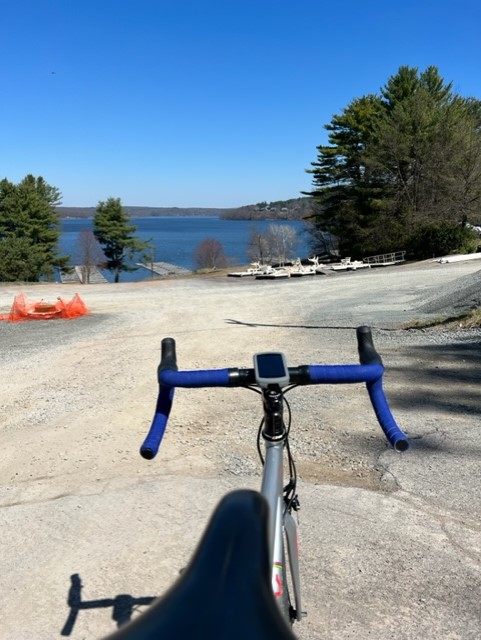
I dropped down to the Towpath Road for an 11 mile, flat as a pancake cruise along the Lackawaxen River. If you haven’t been on this road, go there. It is a quiet, beautiful stretch of tarmac. I crossed the Roebling Bridge into New York for an 18 mile ride along the Delaware River that was anything but flat. As soon as I rode past Barryville, I hit a succession of climbs that made me rethink my mapping skills (Actually, it wasn’t too bad as the entire route was under 3,000 feet of elevation gain). When I reached the top of the Hawk’s Nest, the sun was in full force. I dropped down to Sparrowbush and eventually over to Port Jervis, where I crossed the Mid-Delaware Bridge back into Pennsylvania and back to Milford on Rt. 209.

What a fun ride. I look forward to building this route into a full day ride and possibly an overnighter.

What’s playing (what am I listening to while writing or what’s dancing around in my head while riding) – today – The Rolling Stones – 19th Nervous Breakdown

Lake Wallenpaupack

Lake Wallenpaupack is a reservoir that is the second largest lake contained entirely in the state of Pennsylvania. The Lenape people named the area “Wallenpaupack”, meaning “The stream of swift and slow water”.

The lake, which is 13 miles long and has 52 miles of shoreline, was created in 1924, when the PPL Corporation constructed a dam on the Wallenpaupack Creek, flooding the town of Wilsonville, which is still under water, near the dam. These days, Lake Wallenpaupack is a major recreational destination in the Pocono Mountain region.

Always looking for an opportunity to try something different, I came up with an idea to pedal around the lake. On Thursday, I met Mike at 9am at the Visitor’s Center on Rt. 6 in Hawley. We had a route planned that would hug the lake as much as possible for a complete circumference. With perfect weather and little to no wind, we decided to take advantage of all that Mother Nature was offering.

Starting from the Visitor’s Center, we headed up Rt. 6 and turned left on Purdytown Turnpike. Immediately, the road shot upward and continued that way for several miles. I’m not complaining, because the slow going on the steep gradient, allowed us to take in what I believe to be one of the most beautiful area’s in the Poconos. The views from Purdytown and Lake Shore Drive were outstanding. Another left on Finn Swamp Road put us close to the water, but not for long, as we continued to climb upward and drop down the backside of each short and curvy descent with little to no traffic. After a right turn on Luzerne Wayne Turnpike which runs right into Goose Pond Road and a left on ledgedale Road, we veered little from the lake as we ran right into Lake Wallenpaupack Road (Rt. 507).

For 14 miles this roller coaster road, took us through more than a few lake front communities, past several marinas and many restaurants. As Rt. 507 reaches Rt. 6, a gravel path leads you up on the dam as you pedal high above the water, taking in a breath taking view on the eastern side of the lake. As we arrived back at the Visitor’s Center, I couldn’t help but think how lucky we are to live here. I can’t wait to do this ride again.

What’s playing (what am I listening to while writing or what’s dancing around in my head while riding) – today – Temple of the Dog – Hunger Strike