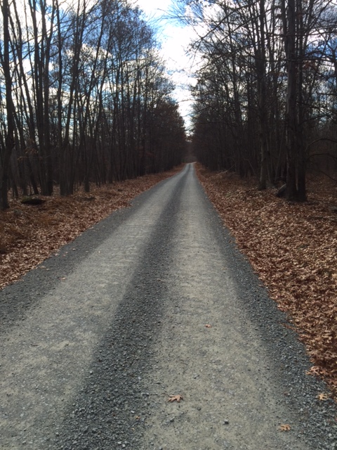
Every now and then, you ride just because you can. This morning presented itself with just that opportunity. With Thanksgiving over and scores of people out shopping the Black Friday sales, myself, Eric, and TC decided to squeeze in a morning ride on the McDade Trail. The trail starts at the Hialeah Trailhead, near the Delaware Water Gap, and ends at Milford Beach in Milford, PA, roughly 32 miles of hard packed gravel and dirt, running through the Delaware Water Gap National Park. Although the trail is mostly flat, there are some climbs between Raymonskill Road and Dingmans Falls that will challenge the strongest of riders.
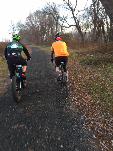
Today, we started out at Dingmans Falls, and rode south towards the Bushkill Access (boat launch). It was just below 40F at the start, and as the trail runs right along side the Delaware River, there was plenty of fog coming off the river onto the trail. As we hit the trail, we immediately ran into a hunter, who did not seem happy that we were riding through. Dressed in as much Hi Viz cycling gear as we could find, and with blinking red tail lights hanging off our bikes, we continued down the trail.
There are numerous bridges scattered throughout the trail, constructed of some sort of composite material that is extremely slippery in the mornings before the dew has dried off. I completely slow down when approaching each bridge as I learned the hard way on a previous ride (road rash or “gravel rash” on my left hip, knee, and elbow.)

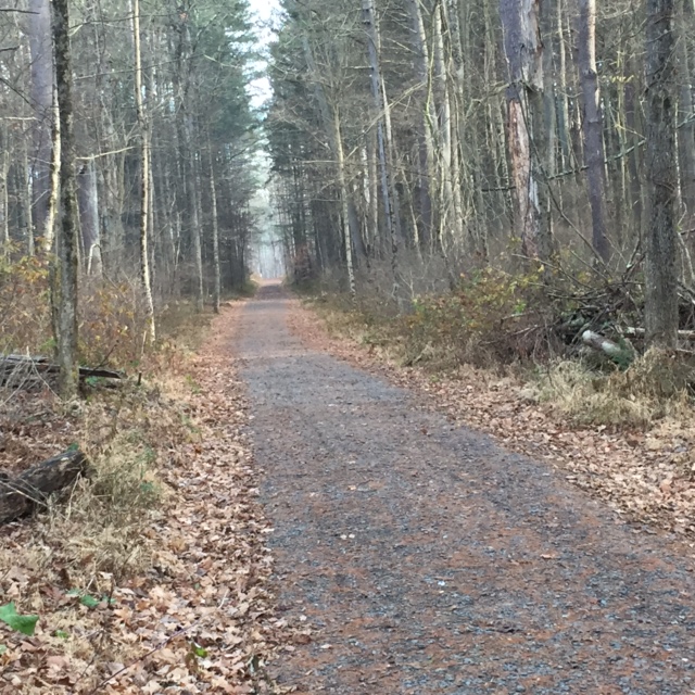
With time being a factor, we turned around just short of the Bushkill Access, and headed back. Passing a few more hunters, we came to a beautiful strectch of pine trees that made for a great photo opportunity.
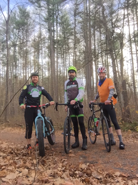
At the parking lot, we loaded up, and each of us hurried off to work as it is still Friday, knowing that we squeezed that one extra ride in this week. Total distance was 21 miles. Longer rides on the trail are planned for the early spring. Here is a Strava screen shot of the trail.

 Nestled atop High Point State Park in the Kittatinny Mountains, it is the highest point of elevation (1804′) in the state of New Jersey. The beautiful 220 foot high monument was built in 1928 as a war memorial. The base of the monument offers views of the Pocono Mountains to the west and the Catskill Mountains to the north. New York, New Jersey, and Pennsyvainia are all seen in what appears to be a panaramic view.
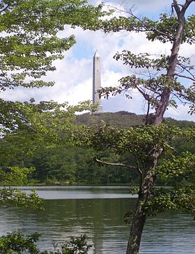


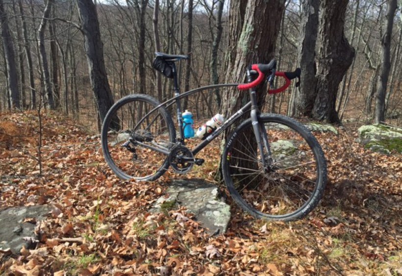 Five Mile Meadow Road winds along on hard packed gravel for around 6.4 miles(shouldn’t it be Six Mile Meadow Road), climbing and descending all the way to Silver Lake Road in Dingmans Ferry. Along the way are tiny hunting cabins, situated just off the road. The road is never plowed in the winter but is still pretty accessible on a fat bike or snow shoes.
 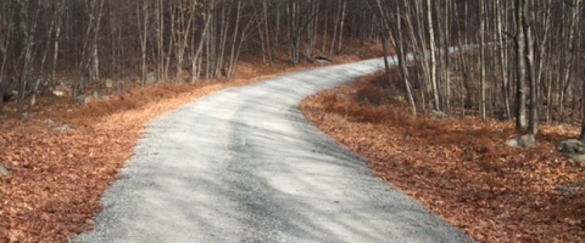 After making a right onto the pavement on Silver Lake Road, you climb a steep hill for about a half a mile then turn left onto Flat Ridge Road. Flat Ridge is more hard packed gravel, with the climbs not being as steep as Five Mile, but longer. Flat Ridge ends at about the 6 mile mark and becomes a trail that winds around Minisink Lake in Bushkill.
 Heading back, my legs were shot. Kyle, a stronger rider, pulled back a little so I could keep him in sight. When we hit the last incline on Five Mile Meadow, it started to get cold. We sped down the road and across Rt. 739 to the parking area. The entire ride amounted to 25.5 miles and a little over 2,000 feet of elevation, but adding some of the emergency access roads could yield a nice 50 mile gravel ride.